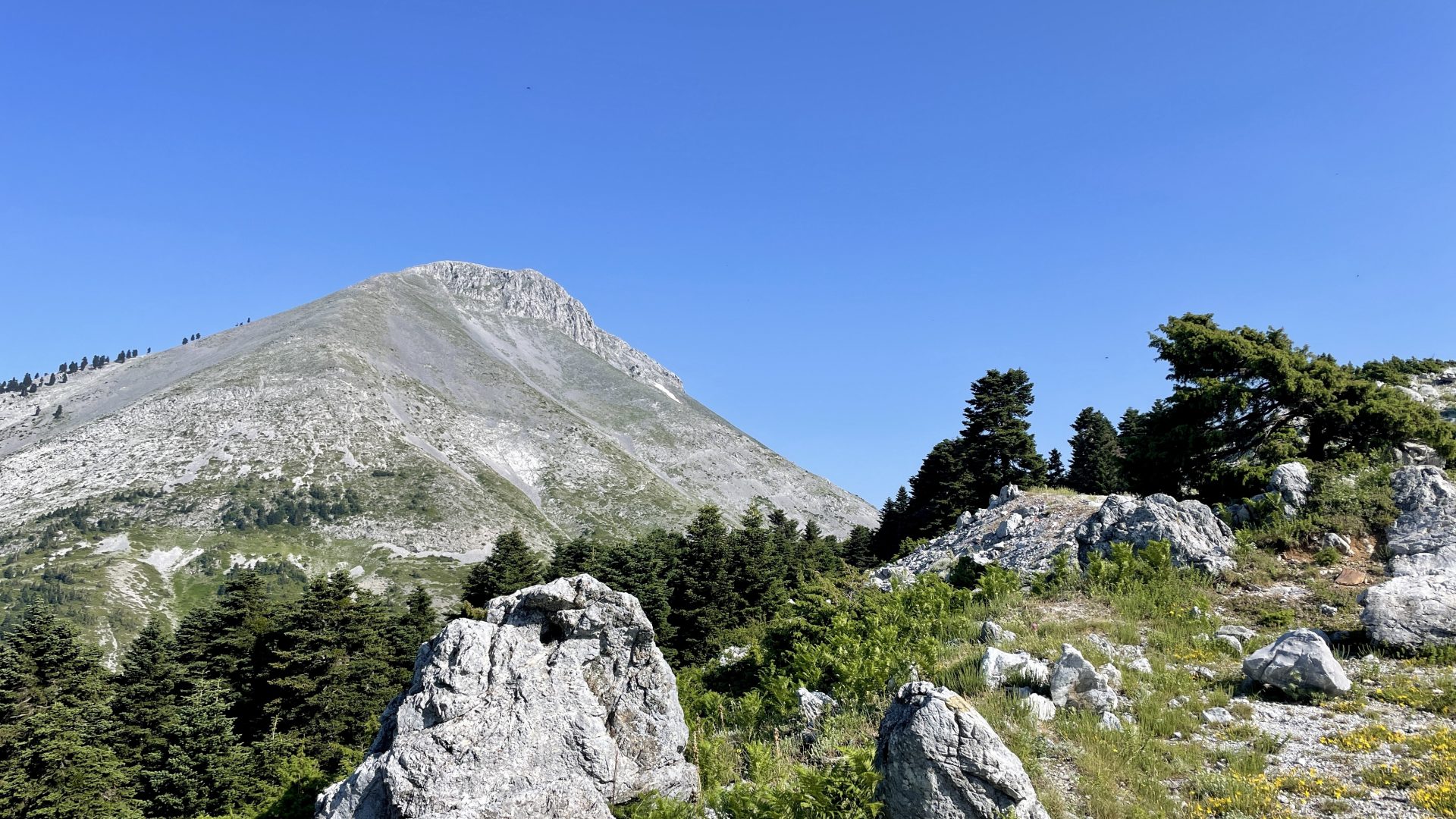
After I saw Mount Dirfi from the top of the mountain I’ve hiked before, I really wanted to go to its top in the beginning of June 2022.
I left my super awesome spot in the mountains to get to the bottom of Dirfi. Still not used to how camping is done in Greece, I was a little worried if it would be possible to camp on the foot of the highest mountain on Evia. When I reached the spot I had chosen, there were already two tents and of course, it was no problem to camp there.
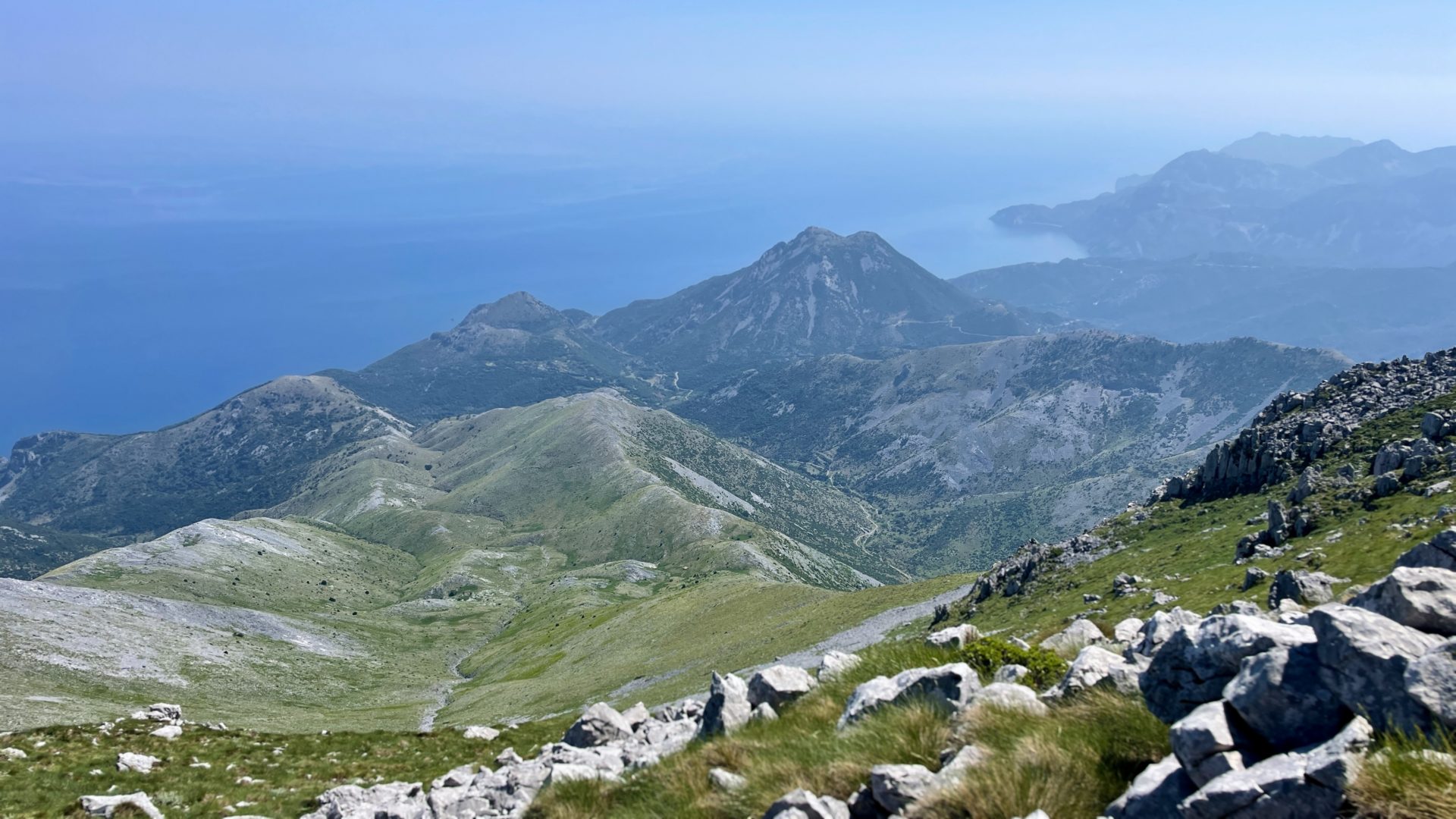
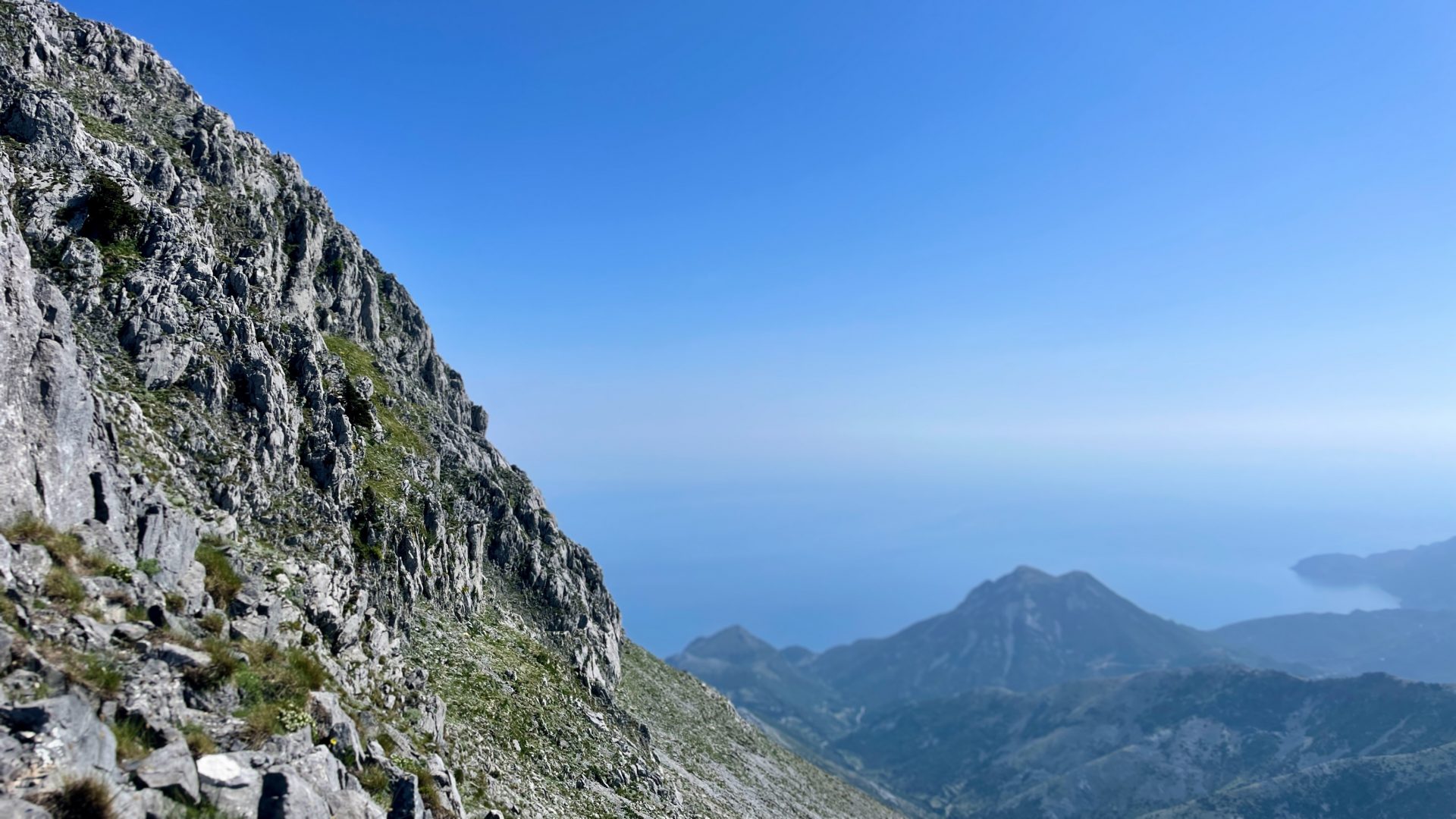
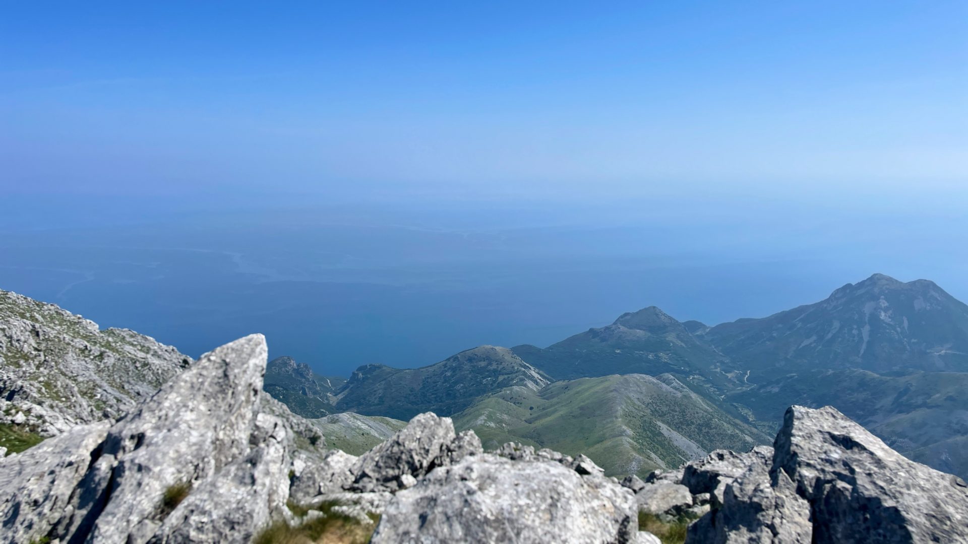
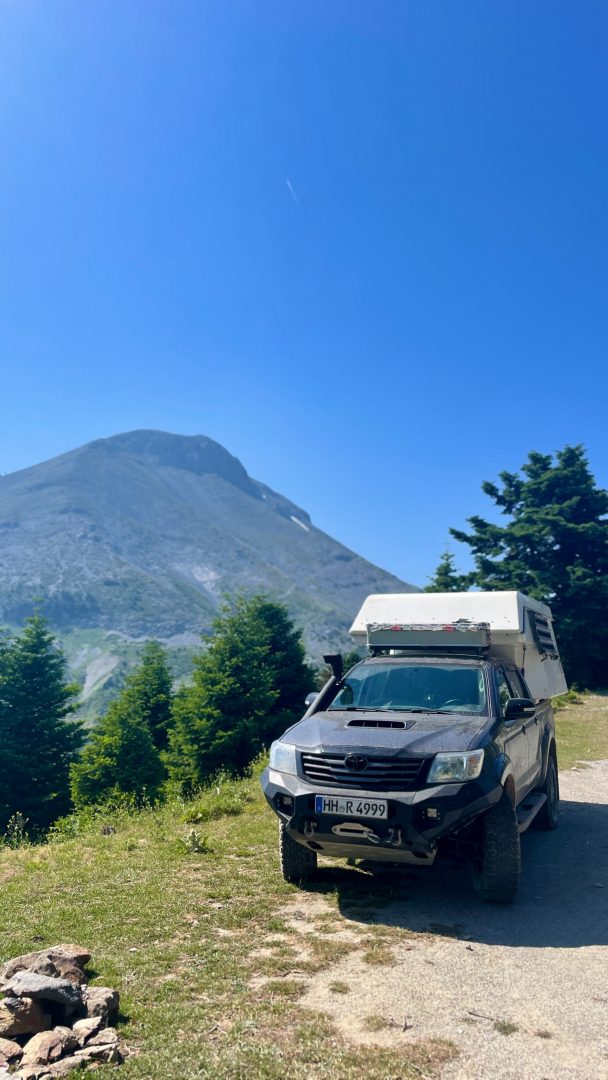
I planned my hiking route and decided to just go straight to the top of Dirfi. I always prefer to do a round trip, but the only one that stuck to the path is about 50 km long and I didn’t feel like wanting to do that one. So I started my way to the top. Most of the path did go along the ridge you see in the photo behind Rosinante. It was a nice path that included some easy climbing of big boulders. When I reached the top at 1743 m, I had a great view and met another hiker.
He didn’t have the time to do the round trip but I didn’t want to return the same way and so I decided to do the round trip. I figured out, that I could be able to shorten the distance to about 25 km if I cut the paths at two points. But if that wouldn’t work out, I would have to do about 60 km. I’ve never done 50 or 60 km on that point.
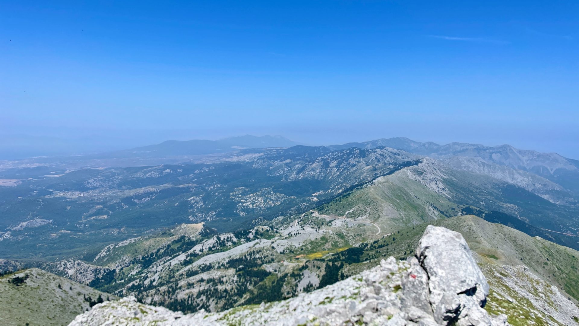
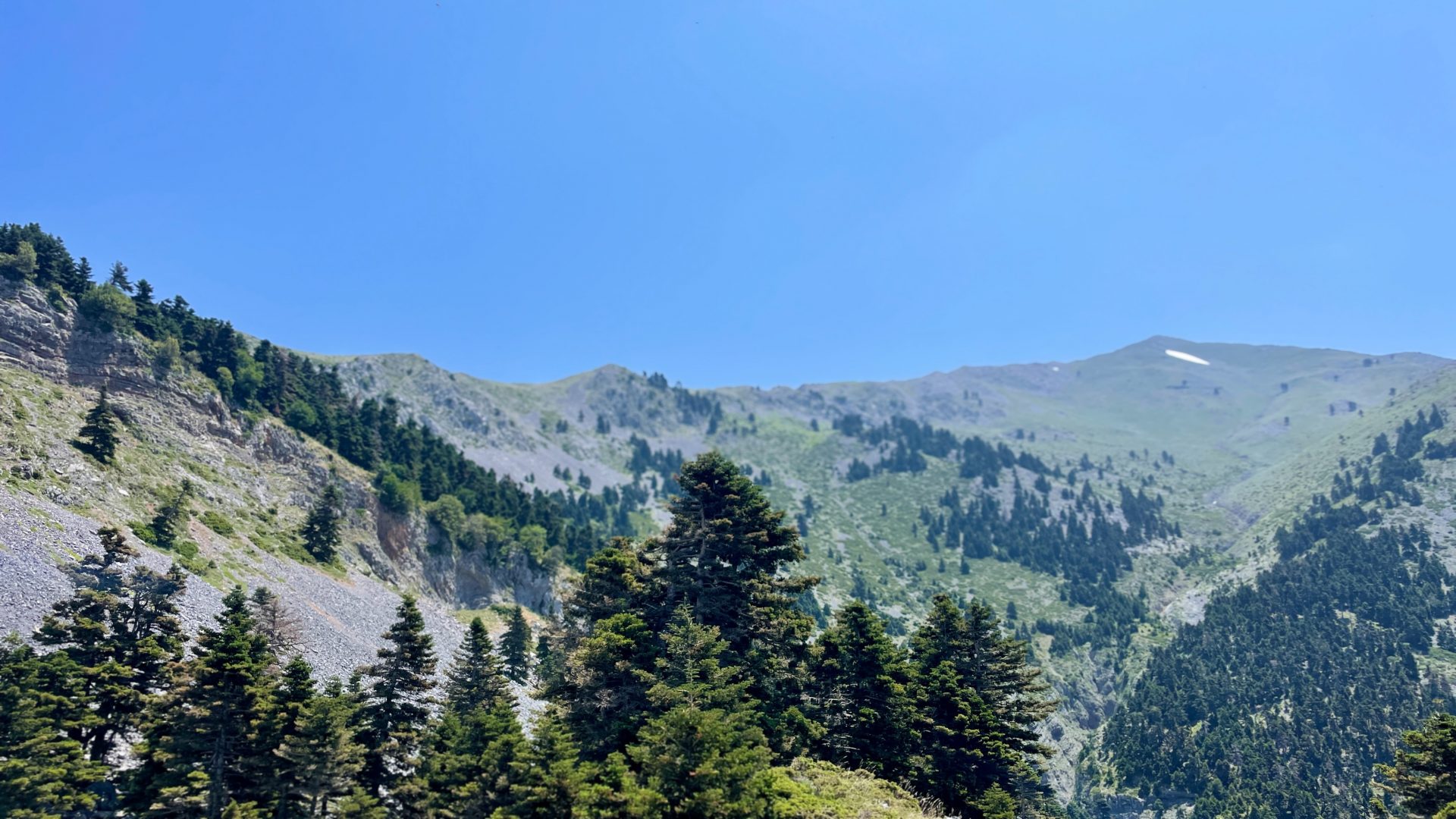
I started my descent and although it was super windy, I enjoyed the view and got all into finding my way down. At first, it became quite difficult because I tried to stick to the path and there had been barely any markings. Once I stopped searching for the official path and just started choosing my own, it got a lot easier and more fun as well. Eventually, after some detours, I made it and reached the foot of Dirfi on the opposite side of where I started my hike. From here on, it was easy to stick to the path and when I met a guided hiking group, the guide was pretty surprised that I wanted to go the walk around because it’s very long.
Next, I met a beekeeper. When I asked him about the shortcuts I would like to take to cut the distance to 25 km, he didn’t really understand and finally told me to turn around. For a moment, I thought about if I should ask him to take me with him on his scooter, but then I decided, that I wanted to try the shortcuts.
After continuing my way for an hour, I finally arrived at the first assumed shortcut. I entered the undergrowth, searched around, crouched through bushes, and found a small and low goat track. I followed it and after half an hour, I made it. The first shortcut worked out pretty well.
I hiked for another hour and finally got to the next potential shortcut. This one got a bit more difficult than the first one: this time no luck in finding a goat path and more climbing. But in the end, it worked out and from that point, I just had to hike along the official path back to Rosinante.
After seven hours I got back to Rosinante and felt like always after hiking: satisfied, vitalized and free.